Grade 7 Social Sciences Geography term 1 activity book (interactive)
R132.25
Resource Description
This fun activity book is packed full of activities for term 1.
It contains the following:
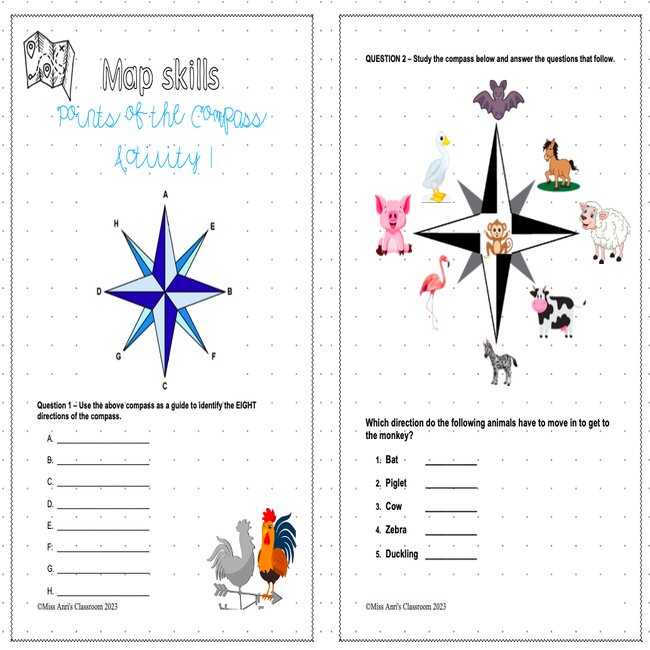
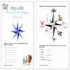
Eight points of the compass Grade 6.
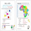
Latitude & Longitude.
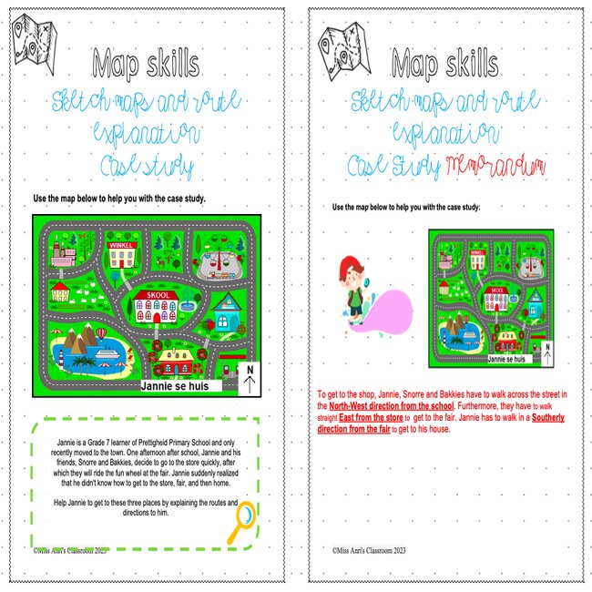
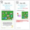
Sketch maps and explain routes.
Determining and displaying compass directions on a local sketch map.
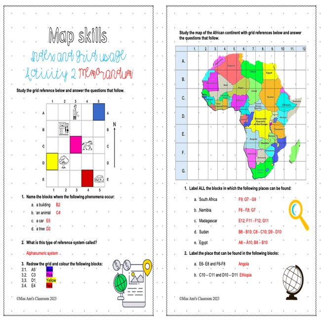
Use an index and grid to locate places in a street directory.
Drawing maps to show the route from one place to another.
Determining and indicating compass directions on a local sketch board.
Could you explain a route orally?
Sketch Map of the Local Area.
Draw a sketch map of your area.
Record own observations of land use and types of vegetation.
Show four cardinal compass directions.
Line scales and word scales.
Different scales for different maps – small and large scale maps.
Measure indirect distances on a street map.
Calculation of distances on maps.
Measure indirect distances on a street map.
Calculation of distances on maps.


 KES(KSh)
 USD($)
 GBP(£)
 GHS(₵)
 NGN(₦)
 MUR(₨)
 BWP(P)
 AUD($)
 TZS(Sh)
 INR(₹)
 PHP(₱)
 AED(د.إ)